An integrated, end-to-end
geospatial approach
From raw earth observation data to a decision made in the field — We ensure environmental challenges are not only understood, but effectively addressed.
Data Acquisition & Integration
IGREM periodically acquires geospatial data across satellite, airborne, and ground-based platforms to generate high-quality, spatially accurate datasets.
These datasets are integrated and consolidated into robust spatial data infrastructures — built for accessibility, interoperability, and scalability, so the right data reaches the right decision-maker at the right time.
- Satellite earth observation (optical & SAR)
- Airborne data capture — helicopters and UAVs
- Ground-based sensor networks and field validation
- Spatial data infrastructure design and consolidation
Data Modelling & Analytics
IGREM monitors, analyzes, and predicts environmental changes using advanced data analytics and emerging GeoAI.
This facilitates evidence-based planning and pro-active decision-making — identifying where drought, flooding, or land degradation is likely to strike before it becomes a crisis.
- GeoAI-driven predictive modelling
- Spatio-temporal trend and change detection
- Multi-sensor data fusion and cross-referencing
- Risk and vulnerability scoring at scale
Research & Consulting Services
IGREM conducts research and provides evidence-based consultation services for decision makers.
Deliverables includes:
- Policy briefs and technical reports
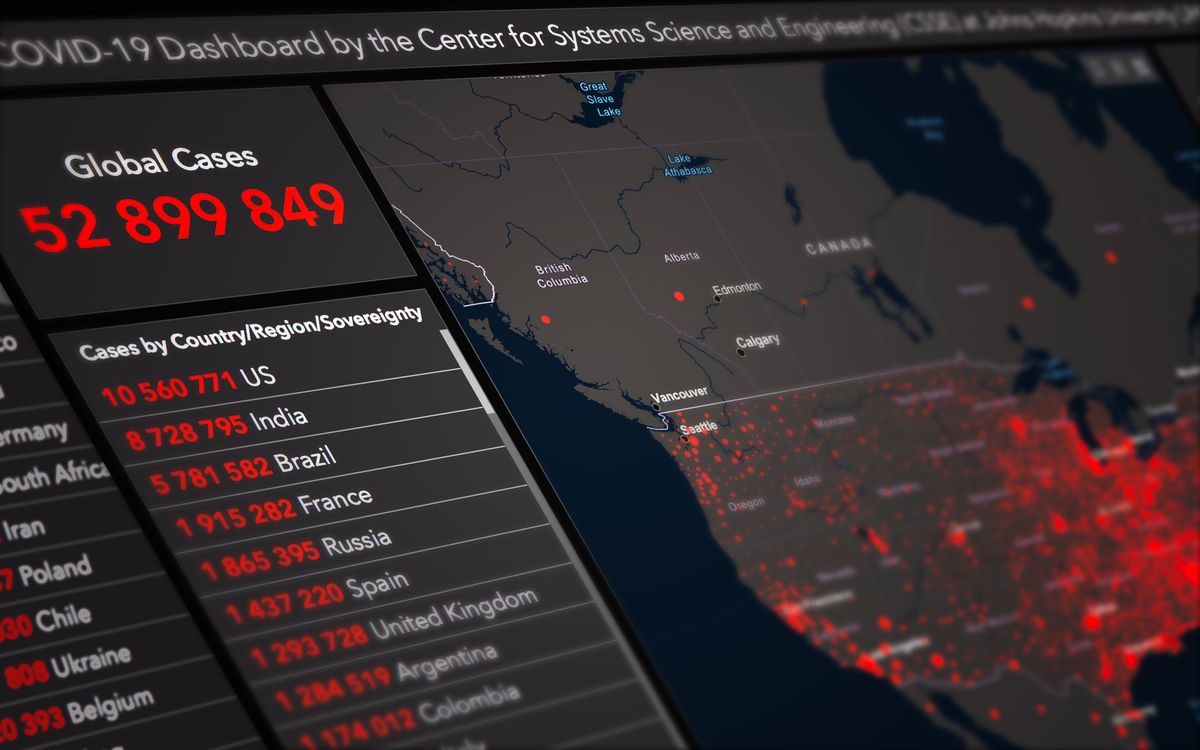
- Interactive web-based dashboards
- High-resolution thematic mapping
- Custom applications for field teams

Training & Capacity Building
IGREM offers highly curated trainings to individuals and organizations seeking to level up their technical capacity.
Training covers:
- Workshops
- Short courses
- Non-degree programs
- Internships
Data acquired in the field becomes the input for analytics; analytics become the insight delivered to decision-makers; insight shapes the context-specific solution that gets deployed on the ground.
Acquire
Multi-platform data capture establishes the ground truth.
Model
GeoAI and analytics surface patterns, risks, and forecasts.
Translate
Findings become maps, dashboards, and briefs people can use.
Deploy
A context-specific solution goes live in the community it serves.