Spatial Innovation for
Resilient Communities
IGREM is an applied research and consulting institute dedicated to harnessing geospatial science and technologies to advance sustainable development for vulnerable communities.
An undeniable environmental crisis, met by an information gap
Global temperatures have risen 1.1°C above pre-industrial levels, driving a sharp increase in the frequency and severity of extreme weather — pressures that fall disproportionately on vulnerable communities.
Despite growing volumes of geospatial data, weak spatial data infrastructure, inadequate funding, and limited technical capacity continue to limit effective environmental monitoring and climate adaptation across many regions. Insufficient collaboration among stakeholders further reduces the ability to translate data into meaningful action.
Compounding these issues is the absence of integrated, applied research and consultancy institutions capable of bridging gaps in data, capacity, and technology with locally relevant, context-specific solutions. IGREM was established to close that gap — particularly across Africa, where the impacts of climate change are most severe.
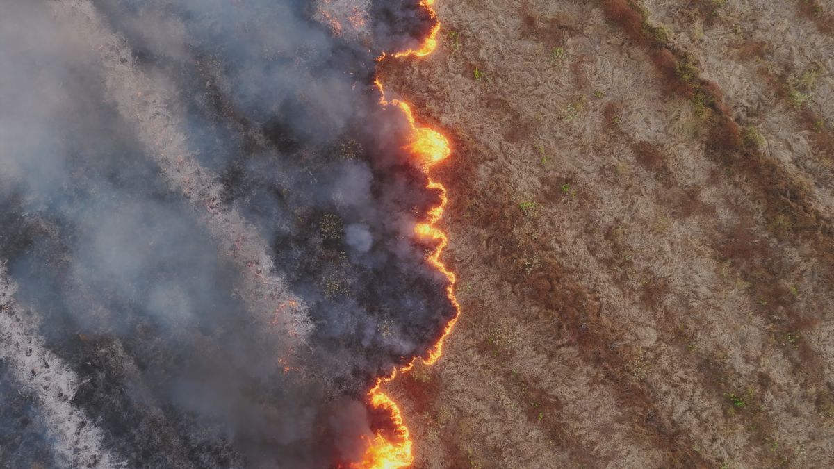 ENVIRONMENTAL RISK
To conduct high-quality research, train skilled professionals, and provide innovative spatial solutions to pressing environmental and socio-economic challenges across vulnerable communities.
To be the leading geospatial research institute and technology center, facilitating data-driven solutions for environmental sustainability, climate resilience, and disaster risk reduction.
"Spatial Innovation for Resilient Communities."
Three objectives that anchor every program
World-class research
Conducting world-class research and developing innovative methodologies to address climate and environmental challenges using advanced geospatial technologies.
Capacity building
Developing short-term courses, workshops, and certification programs to train scientists, technicians, and practitioners in cutting-edge geospatial technologies.
Strategic collaboration
Collaborating with government, the private sector, academic institutions, and other research institutes to achieve our research, innovation, and capacity-building objectives.
Four commitments that shape every engagement
Excellence
We are committed to delivering high-quality, evidence-based research and projects that provide a reliable foundation for policy and decision-making.
Purpose-oriented
We don't just use technology for its own sake; we leverage GeoAI and advanced spatial tools specifically to solve the most pressing environmental and societal challenges.
Community-centred
Our success is measured by the resilience of the communities we serve. We prioritize solutions that protect lives, livelihoods, and local ecosystems.
Collaboration
We believe in the power of partnership — across governments, industry, academia, and the communities we work alongside.
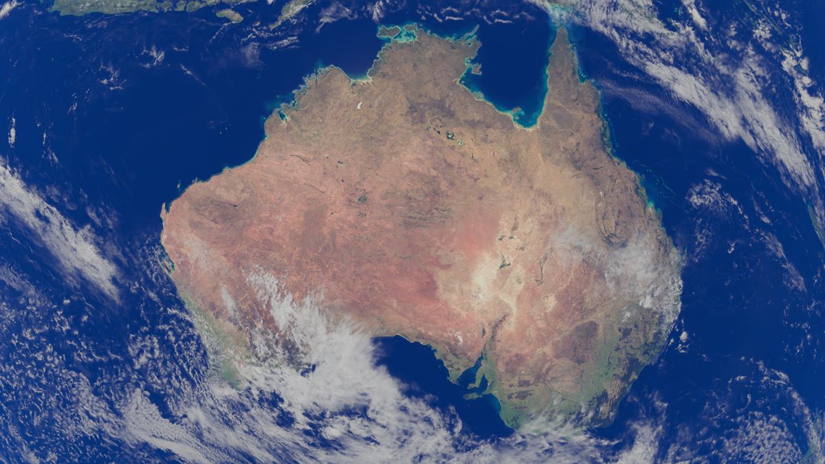 NIGERIA · AFRICA · GLOBAL
A model built at the intersection of research and consulting
IGREM combines academic rigor with the delivery discipline of a consultancy — and a funding model designed for the realities of the regions we serve.
- A unique combination of geospatial, AI, and domain-specific skills
- Academic and research leverage, paired with applied delivery
- International experience and connections
- A combined Research + Consulting operating model
- A diversified, sustainable funding model