Work & Impact
IGREM's portfolio demonstrates the transformative potential of geospatial intelligence as a unifying force across sectors — bridging the gap between information and action.
Illuminating Invisible Fishing in the Gulf of Guinea
Strengthening maritime governance by making "invisible" fishing activity visible across Nigeria's Exclusive Economic Zone and the wider West Central Gulf of Guinea.
Illegal, unreported, and unregulated (IUU) fishing threatens marine sustainability, food security, and economic stability across the Gulf of Guinea. Vessels can disable transponders, transmit misleading signals, or operate without AIS altogether — creating blind spots that obscure true fishing effort.
IGREM applies a multi-sensor, GeoAI-driven framework that integrates AIS data from Global Fishing Watch with satellite-based vessel detections from Synthetic Aperture Radar (SAR) and optical imagery, cross-referencing datasets to reveal the extent of "fishing obscurement."
Key outputs
- High-resolution spatial maps of fishing effort and obscurement hotspots
- Compliance transparency metrics for evaluating vessel behavior
- An interactive web-based dashboard for spatio-temporal fishing dynamics
- A policy brief translating technical findings into recommendations for the FCWC
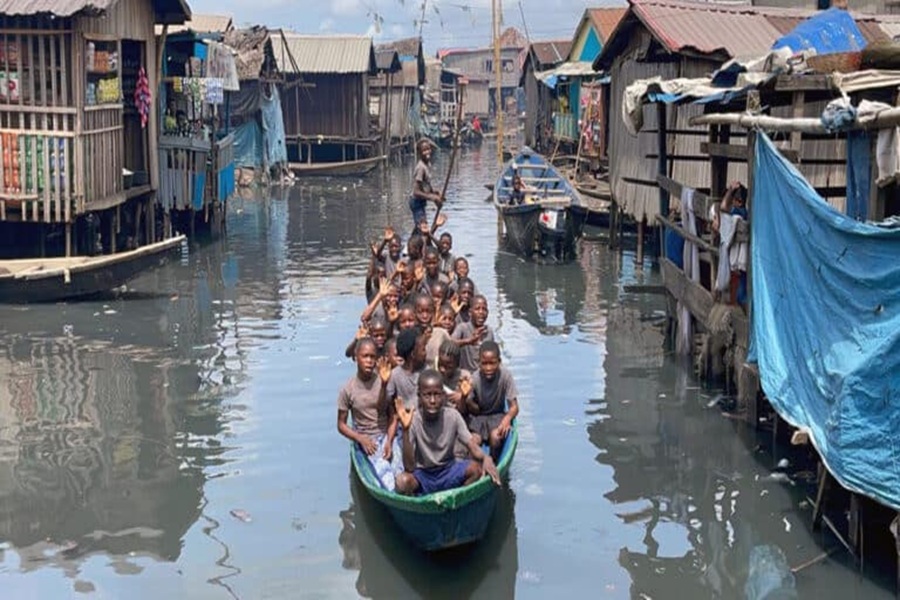 MAKOKO, LAGOS
Reframing Digital Inclusion: A GeoAI Assessment of Internet Connectivity
Challenging conventional coverage maps to reveal where internet access is genuinely available, affordable, and usable — street by street.
Despite expanding broadband infrastructure, millions in Nigeria remain digitally excluded due to gaps in access, affordability, and usability that operator-reported coverage maps fail to capture. Makoko, a densely populated waterfront community in Lagos, exemplifies these disparities.
IGREM's "True Connectivity" framework integrates satellite imagery, infrastructure data, demographic indicators, and field validation to measure three dimensions of meaningful access: availability, affordability, and usability — enhanced with GeoAI models that predict connectivity in data-scarce areas.
Key outputs
- High-resolution, street-level connectivity maps
- Infrastructure vulnerability analysis against climate-related hazards
- Spatial suitability analysis for future network expansion
- A replicable model for understanding digital exclusion across developing regions
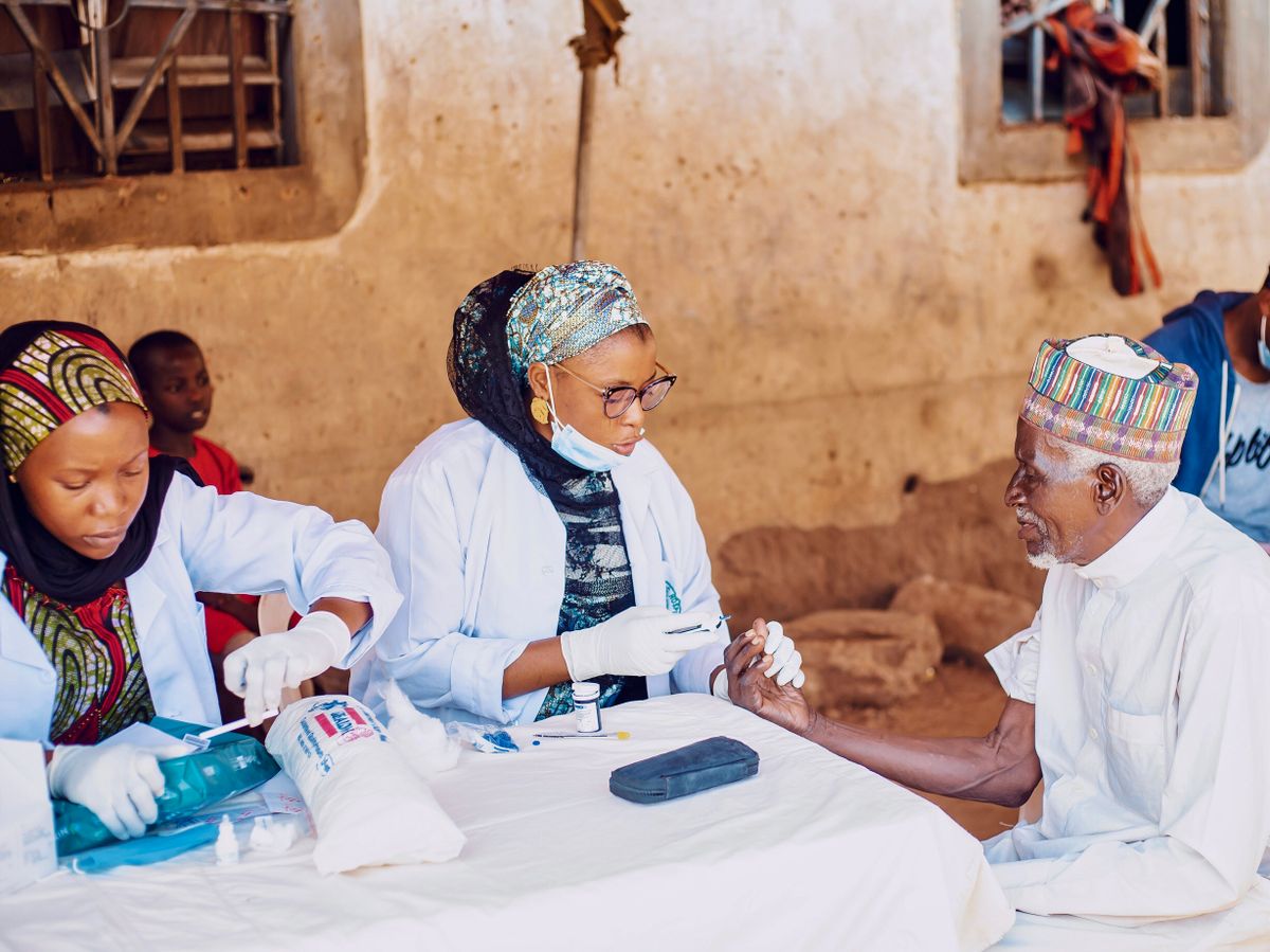 GIS PATIENT TRACKING
Restoring Sight: A GIS-Enabled Approach to Eliminating Cataract Blindness
Eliminating preventable cataract blindness in Nigeria by closing the gap between diagnosis and treatment completion.
Cataract blindness persists in Northeast Nigeria not because surgery is unavailable, but because patients are often not identified early and frequently drop off between diagnosis and treatment due to financial, logistical, and social barriers.
IGREM partnered with ClearSight Nigeria to design a GIS-enabled patient identification, tracking, and referral system. Free community screenings in markets and places of worship feed patients into a centralized platform that maps both demand (patients) and supply (treatment centers) — optimizing referrals and coordinating transport, surgery cost coverage, and follow-up.
Early projections from an embedded randomized controlled trial suggest combining financial assistance with active tracking can lift treatment completion rates to over 80%.
Key outputs
- Centralized GIS-enabled patient tracking platform
- Demand-supply mapping of patients against treatment facilities
- End-to-end logistics management for transport and surgery support
- RCT framework evaluating treatment-completion outcomes
CoastWatch Lagos: Community-Powered Coastal Intelligence
A distributed early warning system addressing the growing risk of urban flooding in Lagos's coastal communities.
Rising sea levels, extreme rainfall, and inadequate drainage are driving more frequent flooding in Lagos's low-lying and informal coastal settlements — yet access to timely, localized warnings remains extremely limited.
CoastWatch Lagos integrates three components: a network of low-cost, solar-powered monitoring stations capturing real-time water level and rainfall data; a cloud-based geospatial intelligence platform that detects emerging flood risk and issues alerts via SMS and messaging platforms; and a community engagement layer of trained "Community Flood Champions" who validate data and disseminate warnings.
The pilot phase focuses on flood-prone coastal and lagoon-front communities across Ikorodu and Badagry, evaluating both technical performance and social impact.
Key outputs
- Network of solar-powered environmental monitoring stations
- Real-time flood-risk dashboard for institutional stakeholders
- SMS-based early warning alerts for residents
- A scalable coastal intelligence blueprint for other African cities