Spatial intelligence for resilient communities
We turn spatial data into decisions to protect land, water, and the communities who depend on them.
Bridging the gap between geospatial data and decisions that matter
The Institute for Geospatial Research and Environmental Monitoring (IGREM) is an applied research and consulting centre dedicated to harnessing the power of geospatial science for for tackling environmental issues.
We acquire, model, and translate geospatial data into reports, maps, dashboards, applications and insights that drive smarter decisions for governments, institutions, and communities.
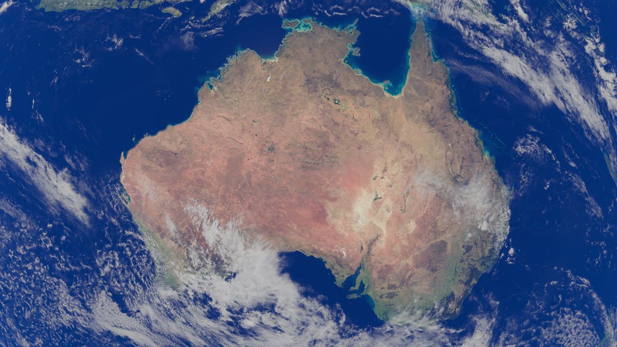 SAT · OPTICAL
Geospatial intelligence applied across the sectors that shape development
We monitor the earth from every vantage point
Satellite, airborne (helicopter and UAV), and ground-based platforms feed high-quality, spatially accurate datasets into robust spatial data infrastructures — built for accessibility, interoperability, and scale.
We turn signals into foresight
Advanced data analytics and emerging GeoAI monitor, analyze, and predict environmental change — from wildfire spread to drought stress — enabling evidence-based planning before a crisis peaks.
We translate complexity into clarity
Reports, maps, dashboards, applications and insights generated from dense geospatial datasets for improved decision making.
We build for where you are, not a generic elsewhere
Early warning systems, risk assessments, and digital platforms designed around the realities of the communities we serve — deployable at local, national, and regional scale.
Explore our services →Geospatial intelligence, applied to real and urgent problems
From invisible fishing fleets in the Gulf of Guinea to flood-prone coastlines in Lagos, our portfolio shows what becomes possible when data, analytics, and implementation are integrated end to end.

Illuminating Invisible Fishing in the Gulf of Guinea
West Central Gulf of Guinea, Nigeria EEZ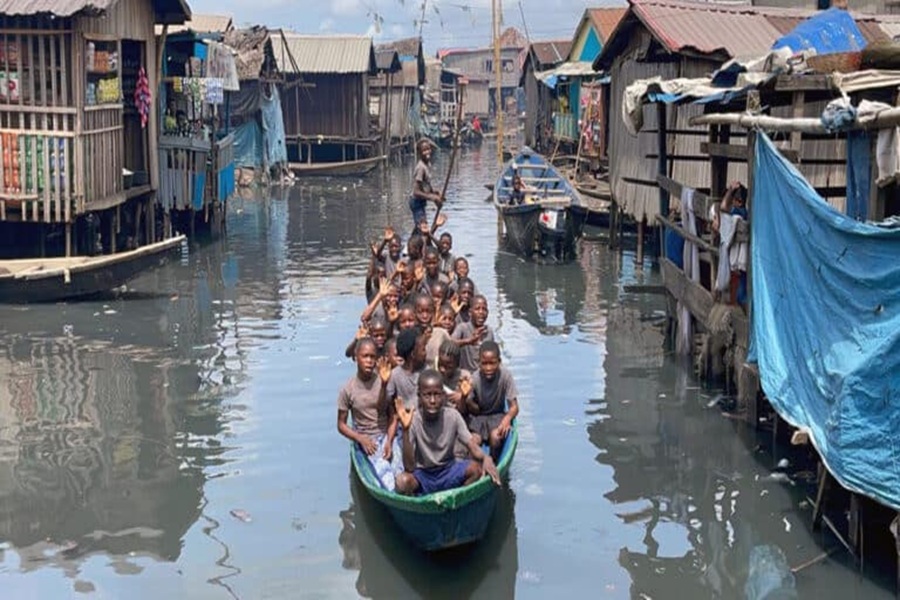
GeoAI-Driven Assessment of Internet Connectivity in Nigeria
Nationwide, with focus on Makoko, Lagos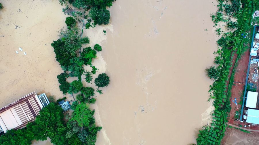
CoastWatch Lagos: Community-Powered Flood Intelligence
Ikorodu & Badagry, LagosFour commitments that shape every engagement
Excellence
We deliver high-quality, evidence-based research and projects that provide a reliable foundation for policy and decision-making.
Purpose-oriented
We don't use technology for its own sake — we leverage GeoAI and spatial tools specifically to solve pressing environmental and societal challenges.
Community-centred
Our success is measured by the resilience of the communities we serve. We prioritize solutions that protect lives, livelihoods, and local ecosystems.
Collaboration
We believe in the power of partnership — with governments, industry, academia, and the research institutions working alongside us.
Have an environmental challenge that needs a spatial answer?
Whether you're a government agency, an NGO, or a research partner — let's talk about how geospatial intelligence can move your work from data to decision.